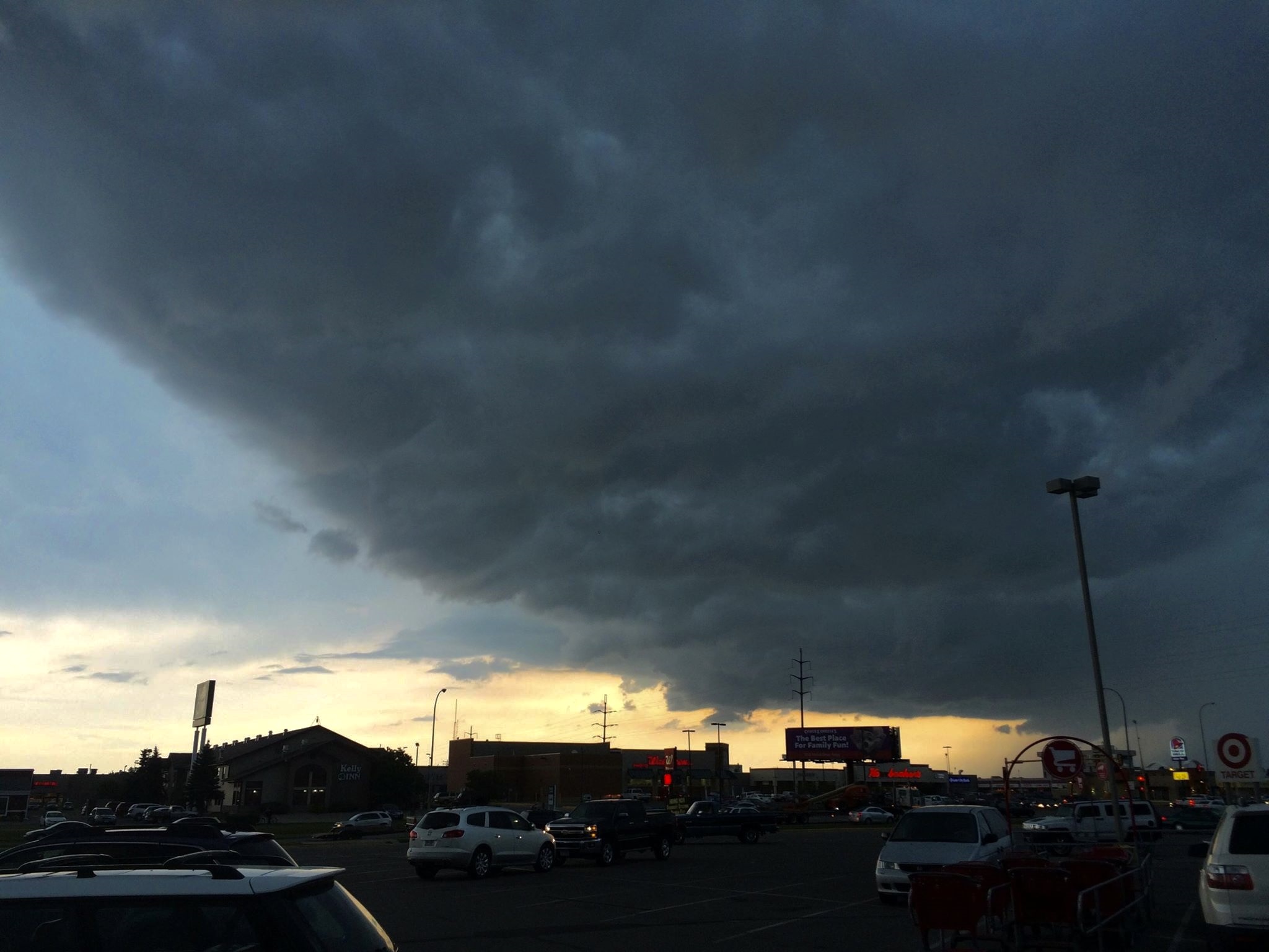
Strong to severe thunderstorms could hit Anderson Township, Mariemont, Newtown and Terrace Park between 3 p.m. and 9 p.m. Saturday, Sept. 19, bringing damaging winds and a low-end tornado risk.
The National Weather Service (NWS) office in Wilmington, Ohio, issued a Hazardous Weather Outlook at 3:06 a.m. Saturday covering Hamilton County. The agency said showers and thunderstorms are expected to develop and move across the area Saturday afternoon into early evening. Some of those storms could produce strong to damaging wind gusts, the NWS said, with locally heavy rainfall also possible.
No formal severe thunderstorm watch or tornado watch had been issued for Hamilton County as of Saturday morning.
FOX19 meteorologist Erin Ashley said Friday, Sept. 18, that residents should stay alert during the storm window: "Stay weather-aware between 3pm and 9pm for heavy rain and damaging winds with a low-end tornado risk."
Saturday's storm threat is separate from the flood watch that covered the area through Friday noon. That watch has expired.
Ashley's forecast calls for Saturday to start dry and warm, with highs in the mid-80s before storms roll in. The storms are expected to clear the Tri-State after sunset.
The storm window overlaps with several outdoor events across the region. The Cincinnati Enquirer reported that the weather outlook could affect downtown Cincinnati's Oktoberfest and a Reds game Saturday evening.
The unsettled pattern extends well beyond Saturday. The NWS warned of more showers and thunderstorms Sunday into Sunday night, with heavy rainfall that could lead to localized flooding. Ashley's forecast puts Sunday morning temperatures in the low 70s before another hot afternoon, with highs near 90 and spotty storm chances.
Scattered storms are expected Monday and Tuesday before drier, cooler air arrives Wednesday morning, according to FOX19. Highs are forecast to drop into the upper 70s heading into the first weekend of fall.
Residents can monitor updates from the NWS at weather.gov or through Hamilton County Emergency Management for any watches or warnings issued throughout the day.